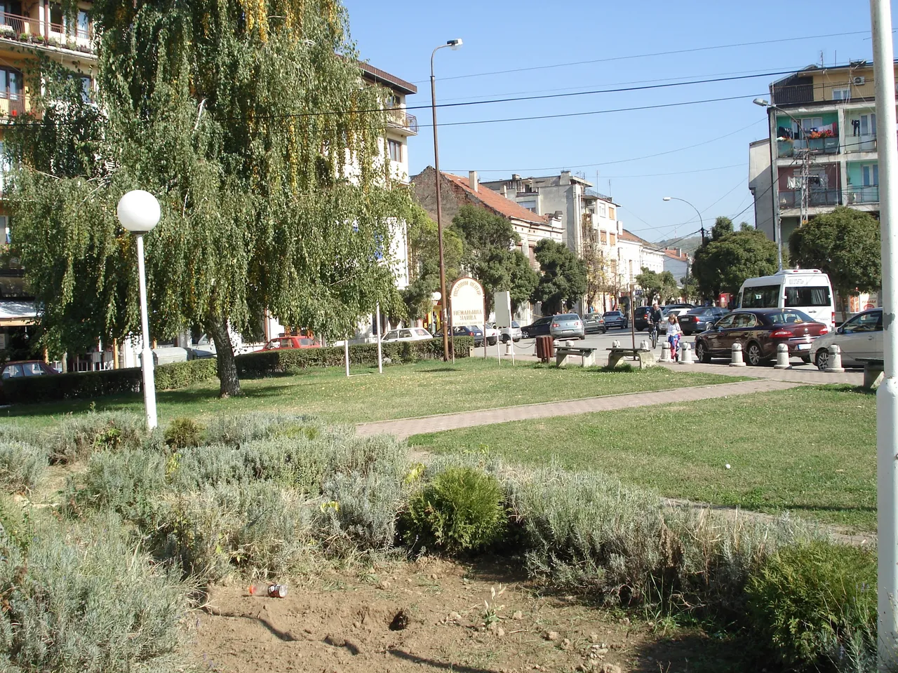
Vlasina
The river gave the town its embankment, its bathing area and its first electricity. It runs for about 70 kilometres, from the plateau to the Južna Morava.
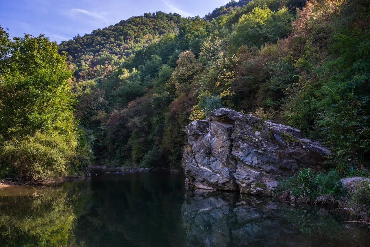
The Vlasina rises on the Vlasina Plateau, at more than 1,200 metres, and runs for about 70 kilometres through Surdulica, Crna Trava, Vlasotince and Leskovac. Of that, 55 kilometres are gorge. At Vlasotince it leaves the mountains, and ten kilometres downstream it flows into the Južna Morava (South Morava).
1. Source
On the plateau
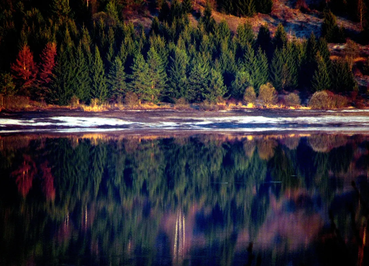
The Vlasina rises on the Vlasina Plateau, at more than 1,200 metres. The picture shows Lake Vlasina, which is in the Municipality of Surdulica, 56 kilometres from Vlasotince. The shortest route to the lake from the direction of Belgrade leads through Vlasotince.
2. Through the mountains
Čemernik
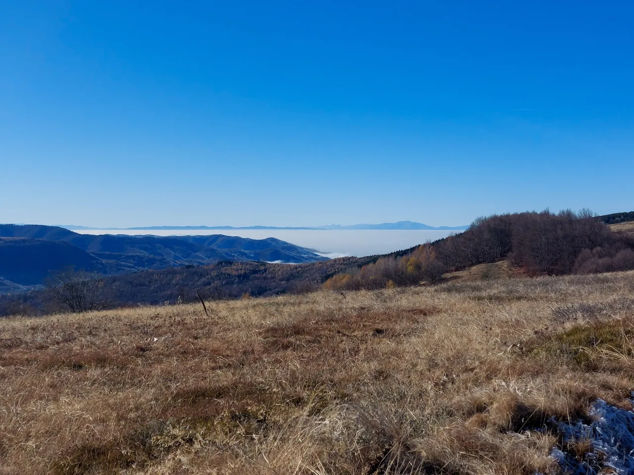
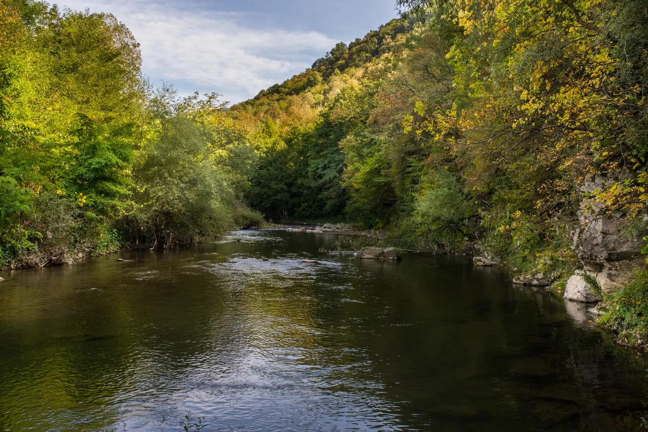
The river flows through Surdulica and Crna Trava. At Vlasotince it leaves the slopes of Čemernik and passes into the fertile Leskovac plain. The picture shows Čemernik in late autumn.
3. Gorge
55 kilometres
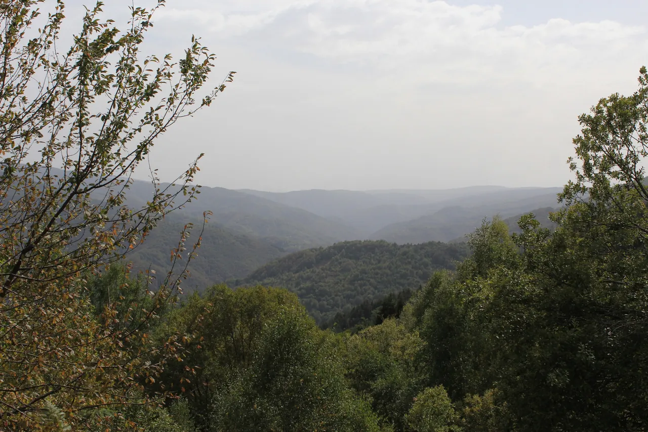
The Vlasina gorge is 55 kilometres long, and to that the river adds some fifteen kilometres more through calm, flat country. In 2011 Južne vesti wrote that the Vlasina is so clean that even trout have made their home in it.
4. Valley
Tributaries
According to the municipality's page on nature, the most important tributaries of the Vlasina in the Vlasotince area are the Tegošnica, Lužnica, Pusta reka, Bistrica and Rastavnica.
5. Within reach of town
Pukli kamen
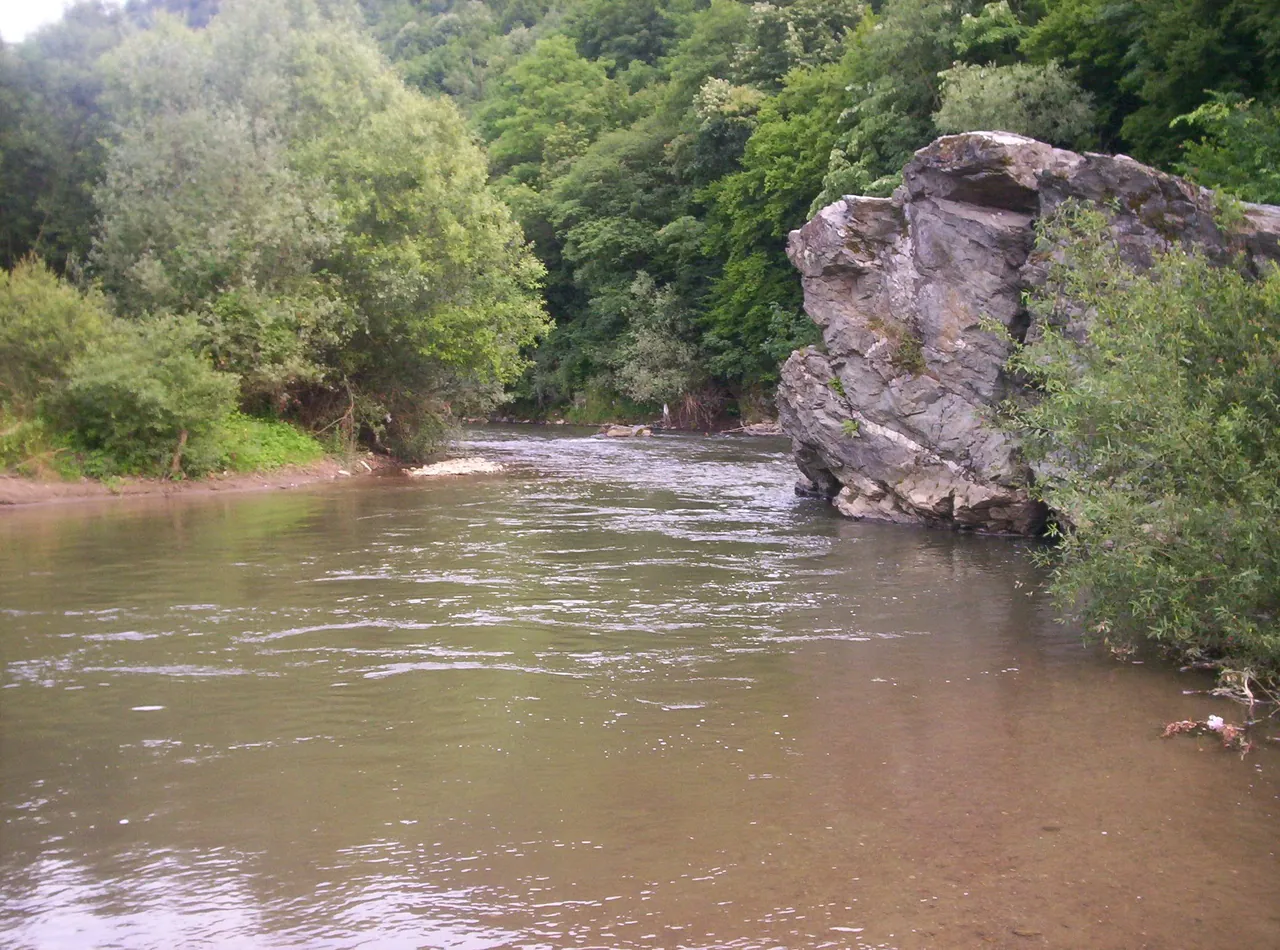
The river is deepest at Donji and Gornji Pukli kamen, within easy reach of Vlasotince. Pukli kamen is one of the favourite places for a swim, and there are bathing spots near the villages of Svođe and Kruševica too.
6. By the old mill
The dam and the town lake
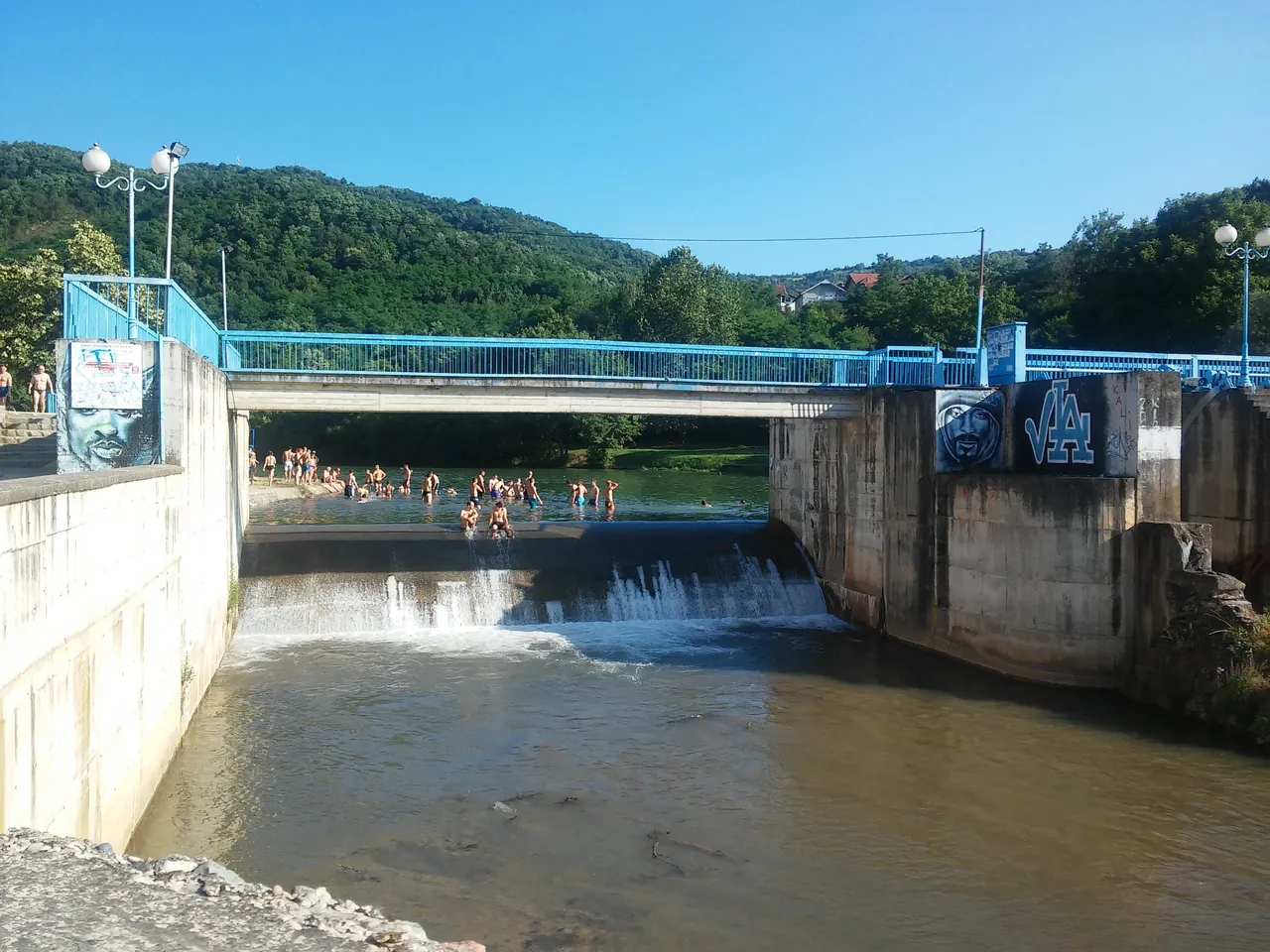
In the south-east of the town, by the old mill, a small reservoir with a dam was built in the early eighties. The municipality reported that after the 2026 bathing season Srbijavode would reconstruct all six sluice gates and the equipment of the dam.
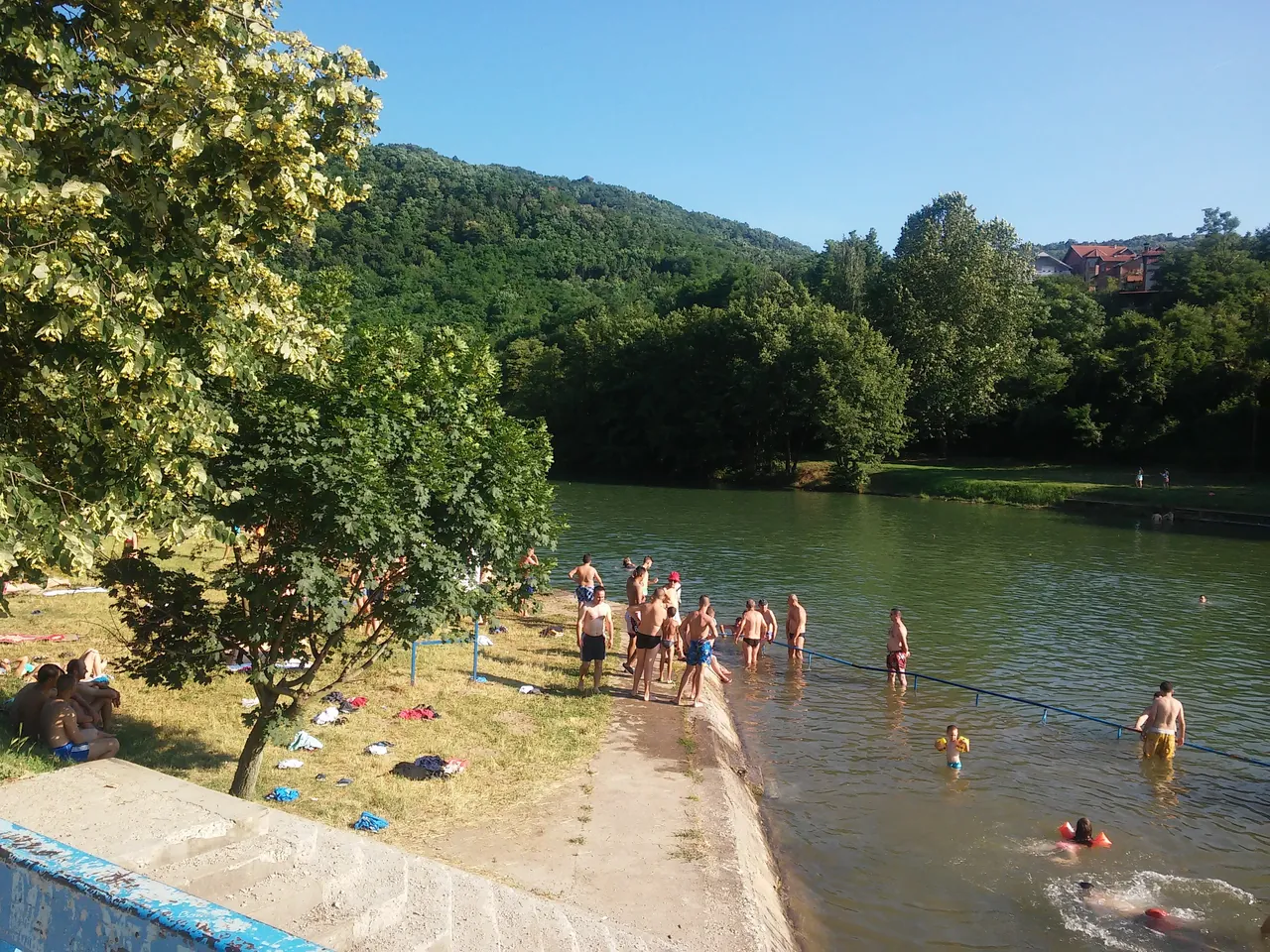
7. In the centre
The town bathing area
The bathing area is in the town centre, and near it are a sports and recreation centre, an athletics club, basketball and football grounds and a fitness trail. The Tourist Organisation calls the Vlasina “our sea”.
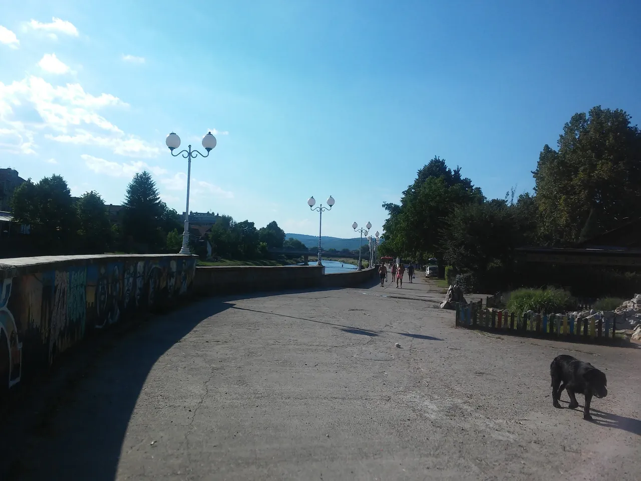
8. Promenade
Nešić Embankment
After the flood of 1948 the need arose to protect the town from further overflows of the river. Building of the embankment began in July 1954, to the plan of the engineer Milan Nešić, and the work was done by the construction company “Niš” from Niš.
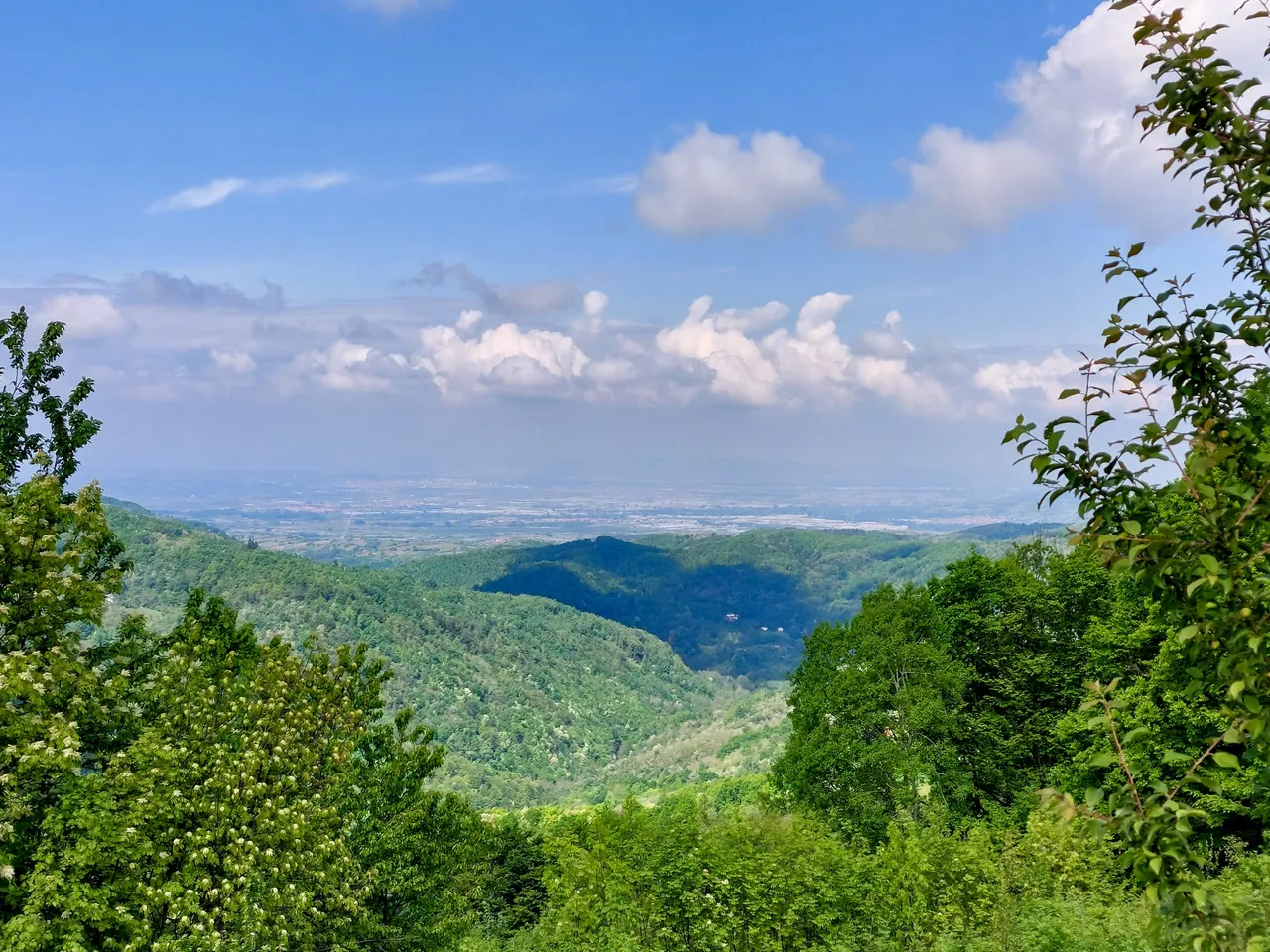
9. Mouth
Južna Morava
Ten kilometres downstream from Vlasotince the Vlasina flows into the Južna Morava, as its right-bank tributary and the second largest. The mouth is at 230 metres, the lowest point of the municipality. The picture shows the view towards the Leskovac plain.
Swimming
“Kuj od more sanja, neka dođe u Vlasinu da se banja.” (Whoever dreams of the sea should come and bathe in the Vlasina.)
Tourist Organisation of Vlasotince
In summer people swim at the town bathing area in the centre, at Pukli kamen and near the villages of Svođe and Kruševica.
For the 2026 season the municipality announced lifeguards hired by SRC Vlasina, every day from 11 to 19 h. At the end of August the season was extended by ten more days, with the announcement that the dam would stay lowered for that time.
The Municipality of Vlasotince publishes the results of bathing water tests on its website.
The bathing season is officially opened by Vlasina Fest, a three-day festival by the town bathing area.
Čarobna dolina (Magic Valley)
We do not have a photo of the waterfalls yet.
Close to the town reservoir, the Stanci stream, a tributary of the Vlasina, has cut a bed with several giant potholes and a few waterfalls up to 10 metres high.
The Tourist Organisation describes Čarobna dolina as a mini canyon of the Stanci stream. Two trails lead through it: the easier one is meant for all ages, while for the harder one a local guide and a good level of fitness are recommended.
When the river
floods
The town lived with the river even at its worst. That is exactly why the embankment on the Vlasina was built.
- 1948
One of the worst floods in the history of Vlasotince. It was then that the need arose to protect the town from further overflows of the river.
- 1954
In July building of the embankment on the Vlasina begins, to the plan of the engineer Milan Nešić.
- 1988
In the night of 26 to 27 June the swollen Vlasina caused catastrophic floods: the houses of more than a quarter of the people of Vlasotince were under water. 1,700 buildings were flooded, and 120 were completely destroyed.
Fish and fishing
- Association
- Opštinska organizacija sportskih ribolovaca “Vlasina” (the municipal anglers' association)
- Founded
- 1954
- Members
- over 200
- Permits
- annual, multi-day and daily, for recreational fishing
The Vlasina basin is home to brown trout, brook barbel and river barbel, ulija, spirlin, gudgeon, chub, nase, stone loach and spined loach.
Also of interest for fishing are spots in the lands of the village of Prilepac, right by the Južna Morava, and the Kozaračka reka near the villages of Gradište, Dadince and Kozare.
Permits for recreational fishing are issued by Opštinska organizacija sportskih ribolovaca “Vlasina”. The price of the permits and where to buy them are not published on the Tourist Organisation's page.
In March 2021 the Municipality of Vlasotince banned mini hydropower plants on its territory.
Celebrations on the river
At Epiphany (Theophany) people swim for the Holy Cross in the town lake, in summer Vlasina Fest opens the bathing season, and at the Wine Ball there is a swim for a small barrel of wine.
Sources
- Municipality of Vlasotince: Nature
- Municipality of Vlasotince: About Vlasotince
- Municipality of Vlasotince: Tourism
- Južne vesti: The Vlasina river and its tributaries, 02.05.2011
- Wikipedia: Vlasina
- Wikipedia: Vlasina (river)
- Wikipedia: Municipality of Vlasotince
- Wikipedia: Vlasotince
- Tourist Organisation: Vlasotince in brief
- Tourist Organisation: Fishing
- Tourist Organisation: Čarobna dolina waterfalls
- Tourist Organisation: Vlasina Fest
- Municipality of Vlasotince, 27.06.2026
- JuGmedia, 31.08.2026
- JuGmedia: Seventy years of the embankment on the Vlasina, 20.07.2024
