OvdeVlasotince

An independent guide to the town

Outdoors

Vlasotince is on the European long-distance path E7. From here you head for Morič and Ostrozub, through the vineyards and along the Vlasina.

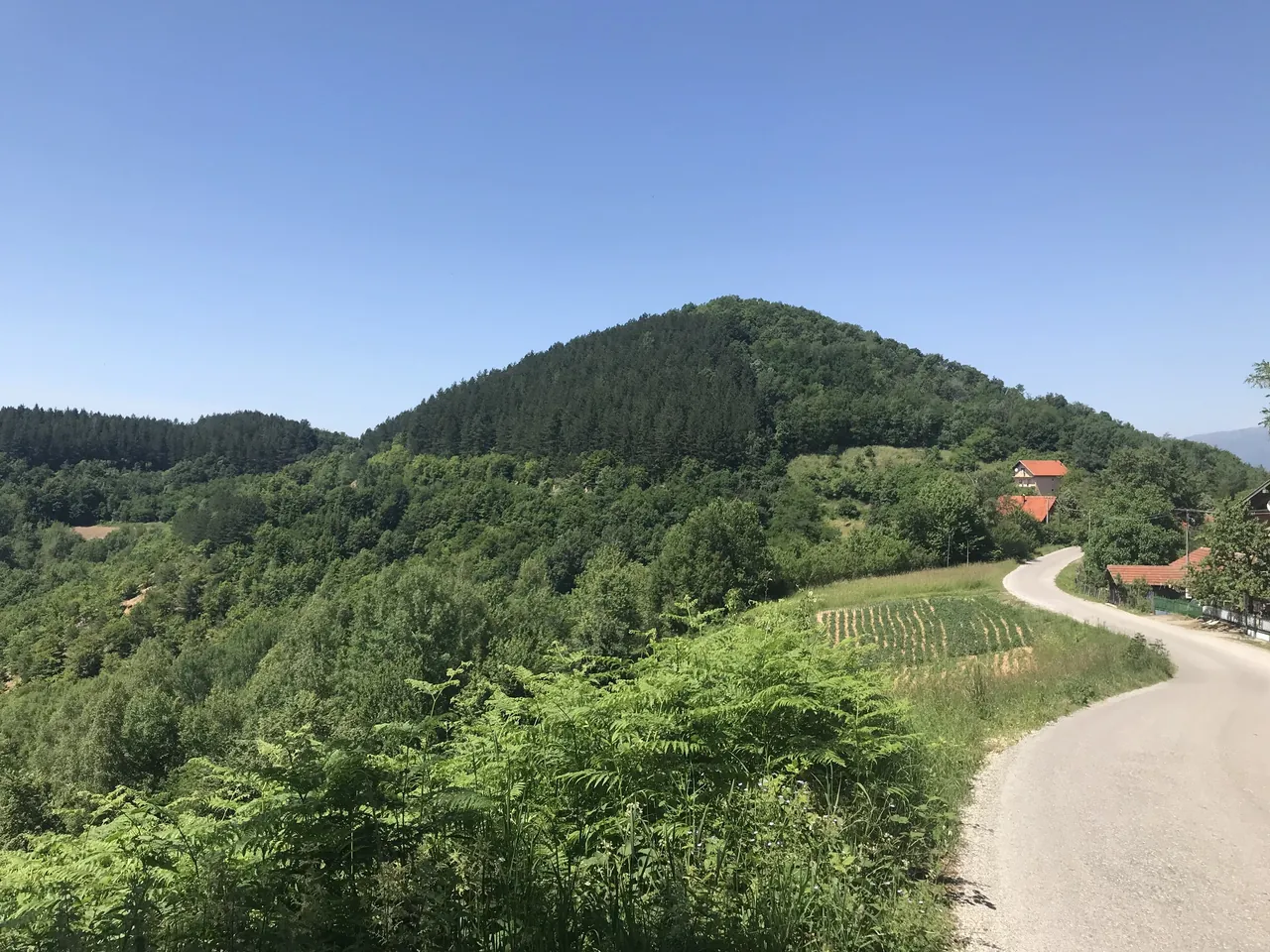
Morič hill and a village road

The town lies at 234 metres, where the Vlasina leaves the hills and mountains and enters the Morava plain. Vlasotince is on the map of European long-distance paths, on the E7, and around it are trails for hikers, cyclists, paragliders and wine lovers.

Morič hill

The hill above the town

Veliki Morič

Veliki Morič is thought to have been a Roman fort.

On the last weekend of March the mountaineering society “Morič” and the Tourist Organisation gather hikers on Trg oslobođenja early in the morning. In 2024 over 400 hikers walked 12 kilometres from Vlasotince to the mountain hut in Donja Lopušnja.

March on Morič

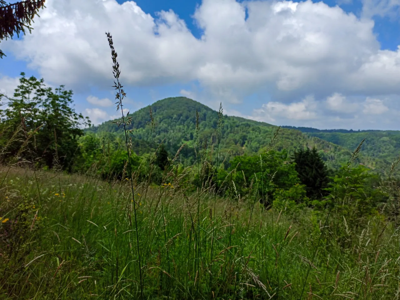
Morič hill

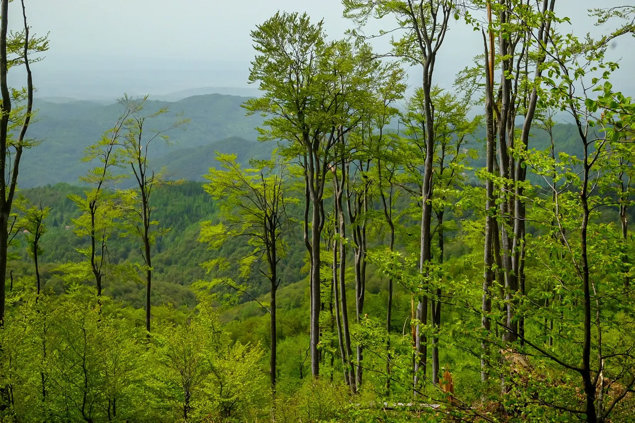
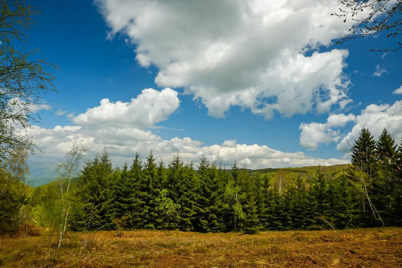
Forest on Ostrozub

Strict nature reserve

Zeleničje on Ostrozub

On the north-western side of Ostrozub mountain, at 1,260 metres, lies the site of Zeleničje, a strict nature reserve. It is named after the cherry laurel (lovorvišnja), also called zeleniča.

Forest on Ostrozub

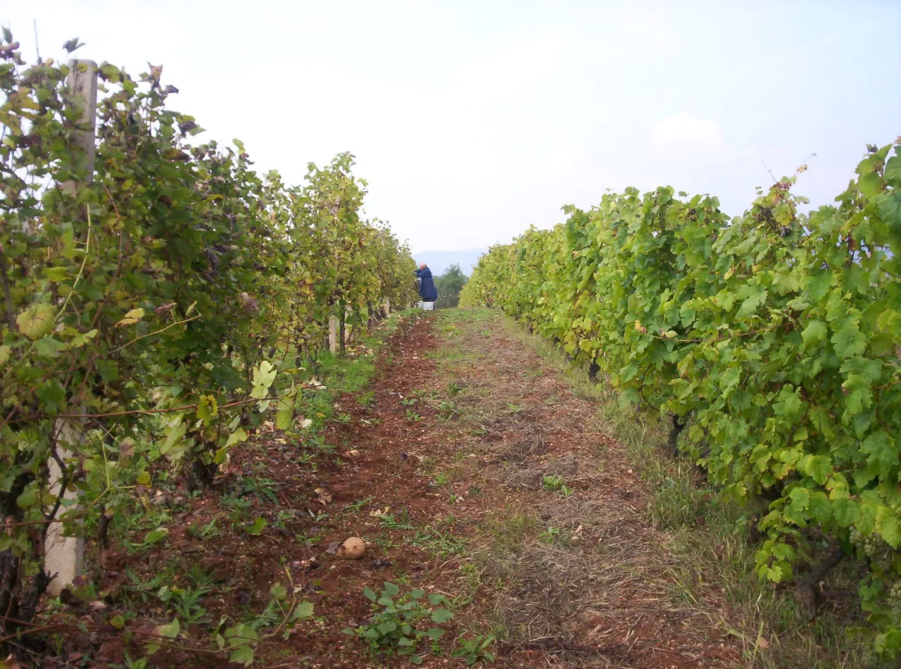
Rows of vines

About 6 kilometres, circular

Dadince-Kozare Wine Trail

The trail takes in two villages, Dadince and Kozare. It is circular, about 6 kilometres long, and runs through the vineyards of both villages, where you can visit wine cellars, taste wine and buy it.

Along the way there is also an old watermill from the Turkish period. In Kozare organised visits are possible, along with buying cornflour and home-made dairy products and tasting kačamak.

Wine and food

Rows of vines

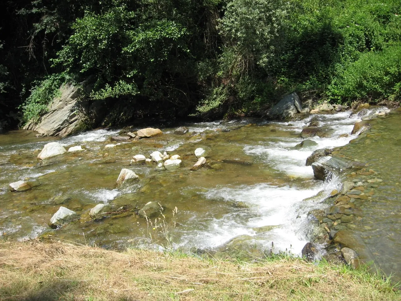
The Kozaračka river near Dadince

Mini canyon of the Stanci stream

Čarobna dolina (Magic Valley)

Close to the town reservoir, the Stanci stream has cut a bed with several giant’s kettles and a few waterfalls up to 10 metres high.

There are two trails: the easier one is for all ages, and for the harder one a local guide and better fitness are recommended.

We do not have a photo of the waterfalls yet. The picture shows the Kozaračka river near Dadince.

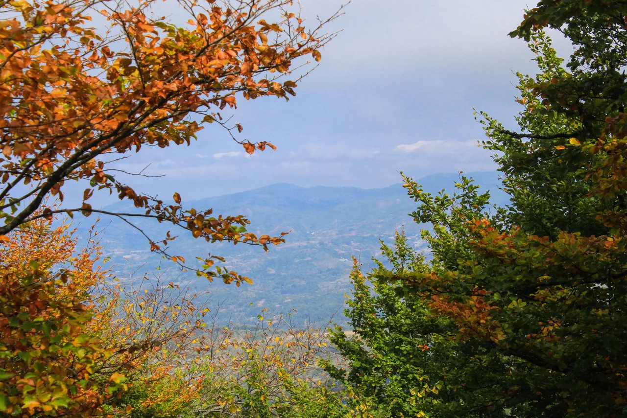
Autumn on Čemernik

90 kilometres, eight checkpoints

Vlasina Transversal

The transversal covers the mountains of the Jablanica and Pčinja districts, has eight checkpoints and is 90 kilometres long. It is looked after by the mountaineering society PD “Čemernik”.

Autumn on Čemernik

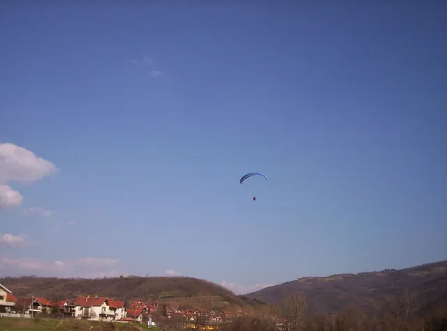
A paraglider above Vlasotince

Take-off at 600 metres

Paragliding

In 2007 Vlasotince hosted the Serbian championship in paragliding accuracy landing. The take-off is at 600 metres above sea level.

A paraglider above Vlasotince

On Ostrozub

70 kilometres, since 2016

MTB marathon

Since 2016 Vlasotince has hosted an MTB marathon, starting on the embankment on the Vlasina and running all the way to Ostrozub, on a course 70 kilometres long.

On Ostrozub

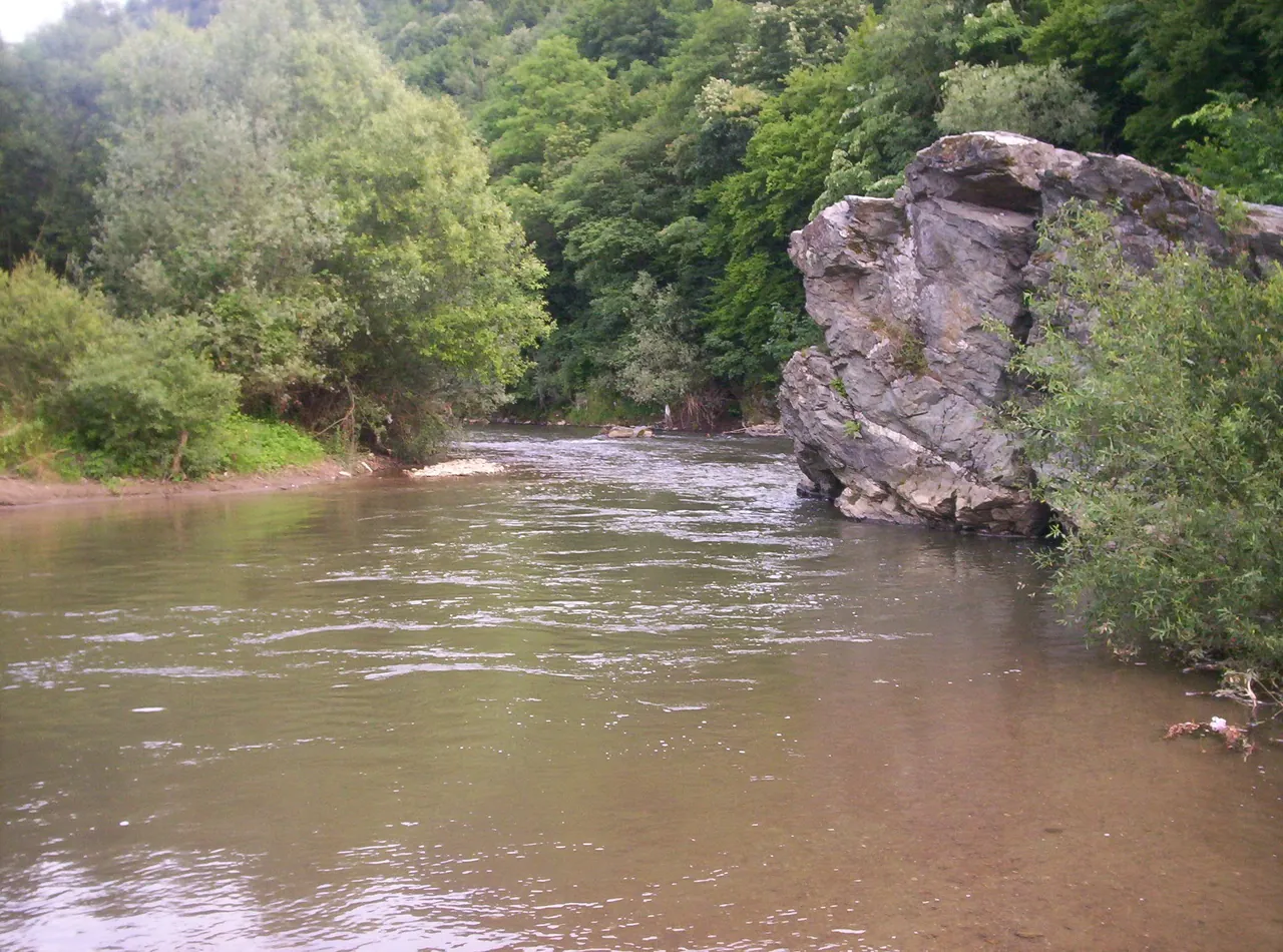
The Vlasina at Pukli kamen

In summer

Swimming in the Vlasina

People swim at the town bathing area in the centre, at Pukli kamen, one of the favourite swimming spots, and by the villages of Svođe and Kruševica. For the 2026 season the municipality announced lifeguards every day from 11 to 19 h.

River and bathing spots

The Vlasina at Pukli kamen

Hunting and fishing

The hunting association “Bogiša Popović Giša” was founded in 1906 and manages the Lužnica hunting ground, covering 30,793 hectares.

Permits for recreational fishing are issued by the municipal sport anglers’ organisation “Vlasina”, founded in 1954, which has over 200 members. Fish and fishing on the Vlasina

Sources