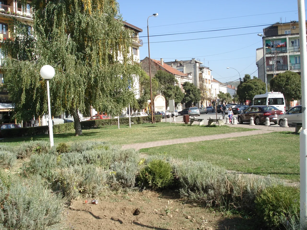
Photos
All photos on this site come from open sources, under licences that allow publication with credit to the author.
The sources are Wikimedia Commons and Pexels. Some photos have been cropped or had their colours slightly evened out. When our own material arrives, it will be here too.
Maps and relief: data © OpenStreetMap contributors (ODbL) and SRTM elevation data (NASA) via Terrain Tiles (Mapzen, AWS Open Data).
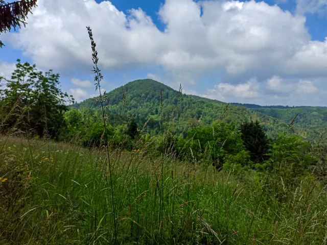 Morič hillPhoto: Geograf208, CC BY-SA 4.0, source
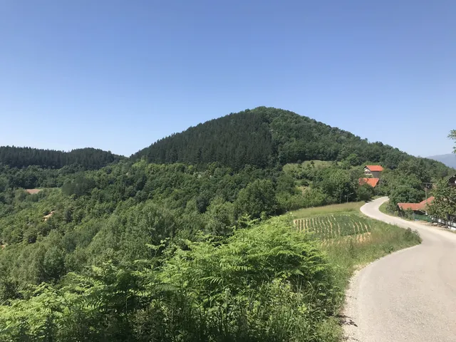 Morič hill and a village roadPhoto: Marko.vl, CC BY-SA 4.0, source
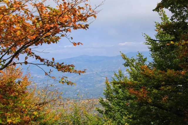 Autumn on ČemernikPhoto: Geograf208, CC BY-SA 4.0, source
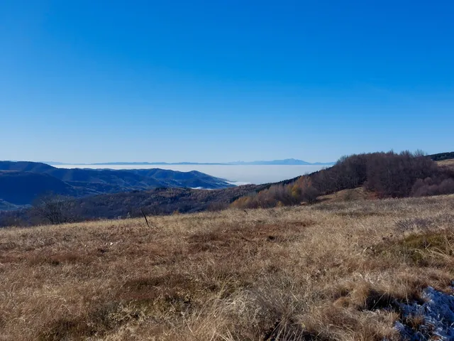 Čemernik in late autumn, mist in the valleysPhoto: Geograf208, CC BY-SA 4.0, source
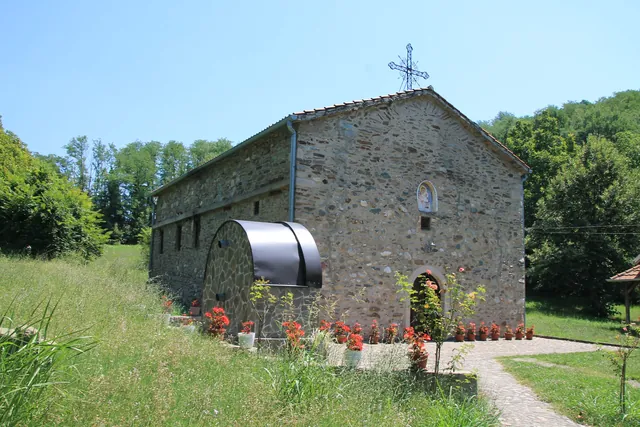 Church of the Dormition of the Most Holy Mother of God in KonopnicaPhoto: Ванилица, CC BY-SA 4.0, source
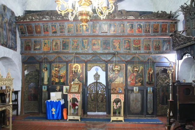 Iconostasis of the church in KonopnicaPhoto: Ванилица, CC BY-SA 4.0, source
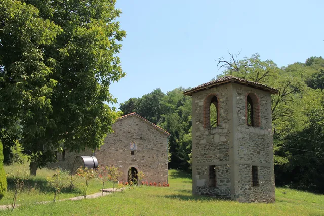 The church and bell tower in KonopnicaPhoto: Ванилица, CC BY-SA 4.0, source
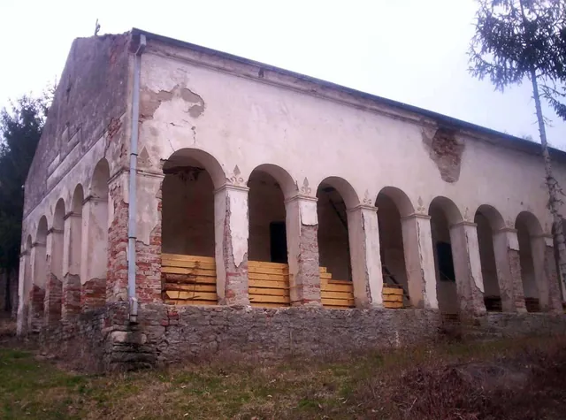 Church of the Synaxis of the Holy Archangel Gabriel in KruševicaPhoto: Vl at Serbian Wikipedia, CC BY-SA 3.0, source
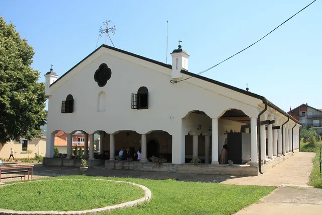 Church of the Descent of the Holy Spirit upon the ApostlesPhoto: Ванилица, CC BY-SA 4.0, source
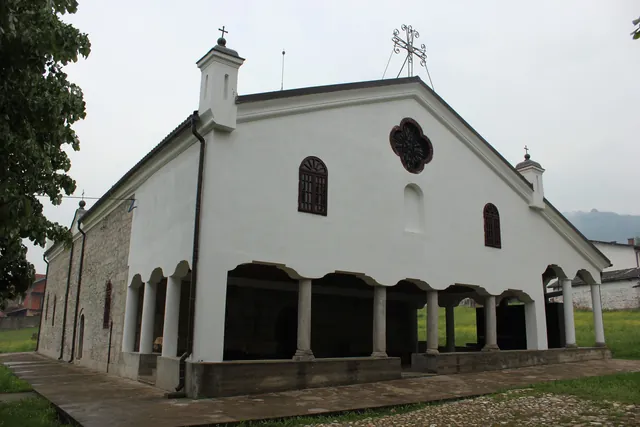 The town churchPhoto: Чигот, CC BY-SA 4.0, source
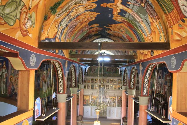 Wall paintings of the town church, from 1894Photo: Ванилица, CC BY-SA 4.0, source
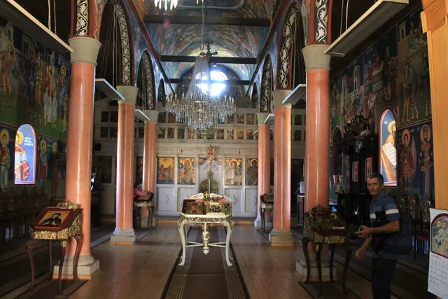 Iconostasis of the town churchPhoto: Ванилица, CC BY-SA 4.0, source
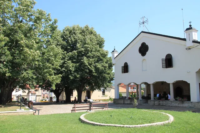 Grounds of the town churchPhoto: Ванилица, CC BY-SA 4.0, source
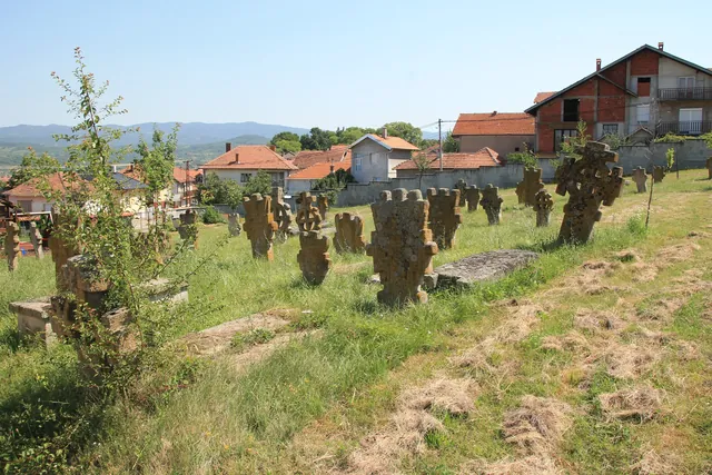 Stone crosses from the 19th century by the town churchPhoto: Ванилица, CC BY-SA 4.0, source
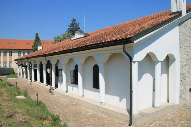 Porch of the town churchPhoto: Ванилица, CC BY-SA 4.0, source
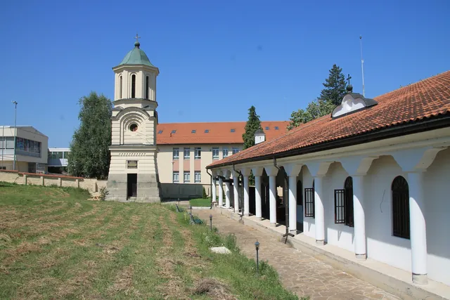 Bell tower of the town churchPhoto: Ванилица, CC BY-SA 4.0, source
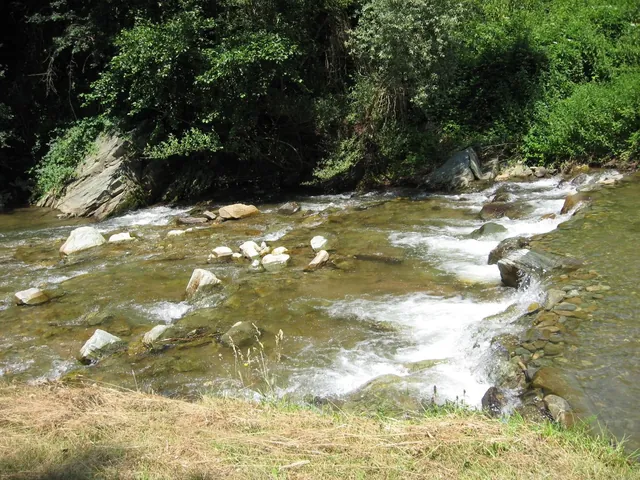 The Kozaračka river near DadincePhoto: Cveleglg at Serbian Wikipedia, Public domain, source
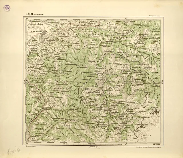 General Staff map of Serbia, Vlasotince sheet, 1894Photo: Geografic cancelary of serbian General Staff (Београд : Географско одељење Главног ђенералштаба, 1893), Public domain, source
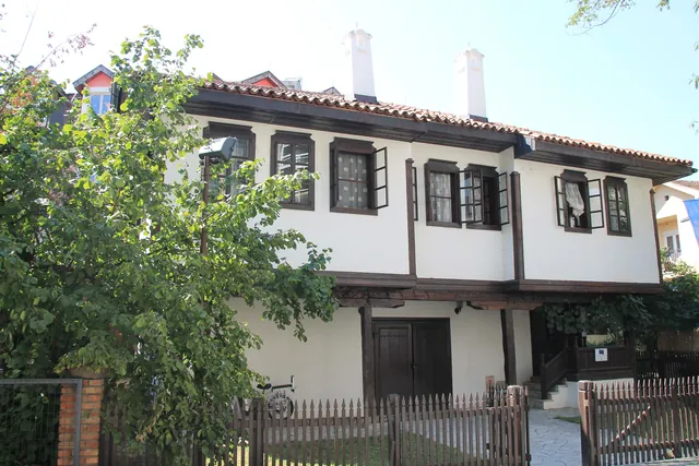 Gigina kuća (Gigi’s House), a town house from 1850Photo: Ванилица, CC BY-SA 4.0, source
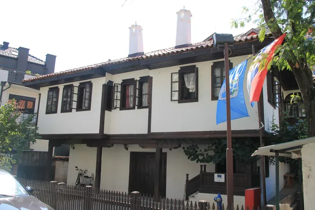 Gigina kuća (Gigi’s House)Photo: Ванилица, CC BY-SA 4.0, source
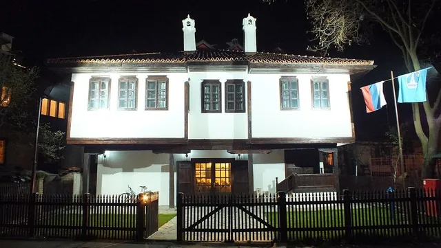 Gigina kuća at nightPhoto: Floris65lidija, CC BY-SA 3.0, source
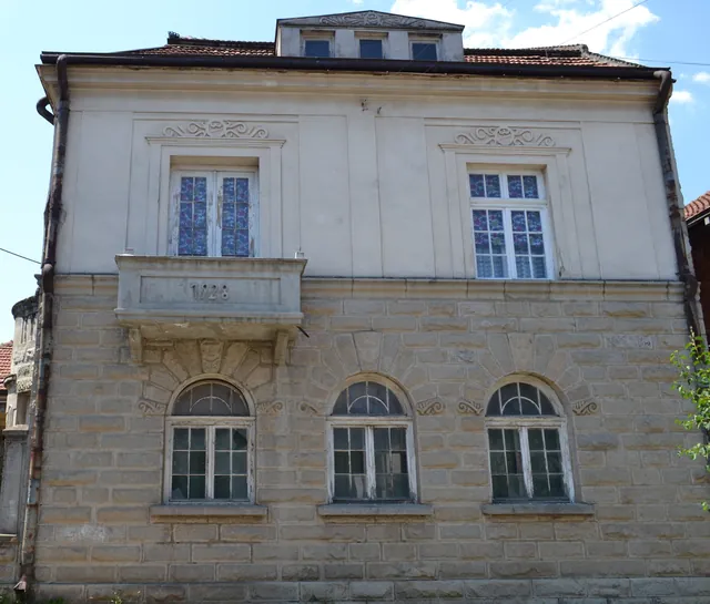 An old town house in VlasotincePhoto: Omladinskiklubanciki, CC BY-SA 4.0, source
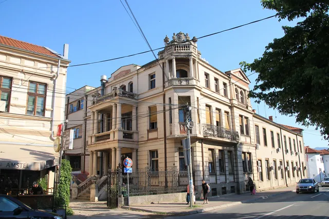 An old town house in the centre of VlasotincePhoto: Ванилица, CC BY-SA 4.0, source
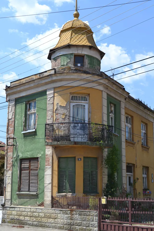 An old house in VlasotincePhoto: Omladinskiklubanciki, CC BY-SA 4.0, source
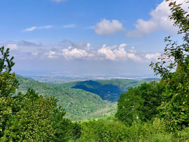 View towards the Leskovac plainPhoto: Geograf208, CC BY-SA 4.0, source
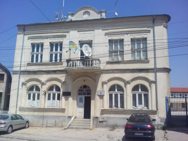 Narodni dom, now TV VlasotincePhoto: Omladinskiklubanciki, CC BY-SA 4.0, source
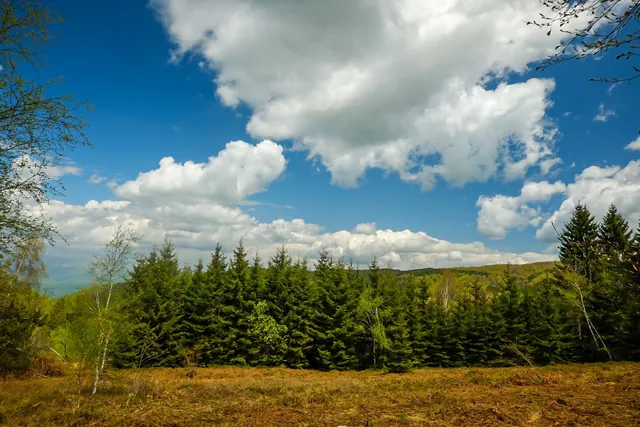 On OstrozubPhoto: Marko.vl, CC BY-SA 4.0, source
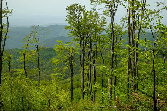 Forest on OstrozubPhoto: Marko.vl, CC BY-SA 4.0, source
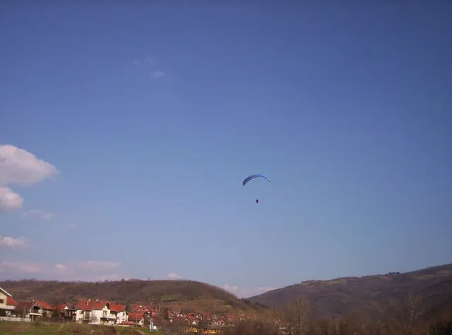 A paraglider above VlasotincePhoto: Vl at Serbian Wikipedia, CC BY-SA 3.0 rs, source
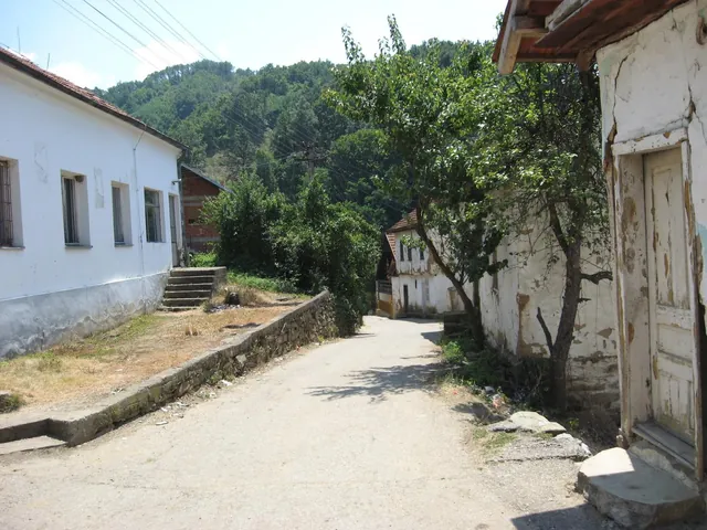 DadincePhoto: Dragan Cvetkovic at sr.wikipedia, Public domain, source
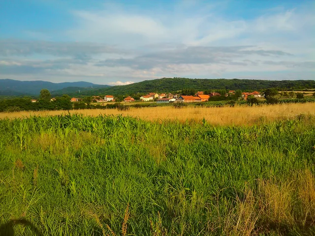 LadovicaPhoto: Geograf208, CC BY-SA 4.0, source
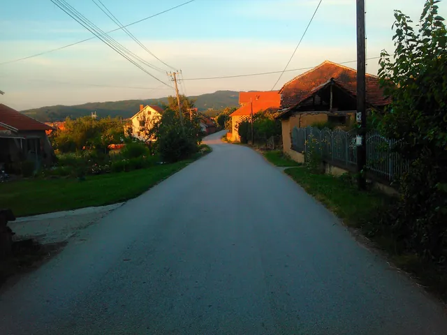 Ladovica at sunsetPhoto: Geograf208, CC BY-SA 4.0, source
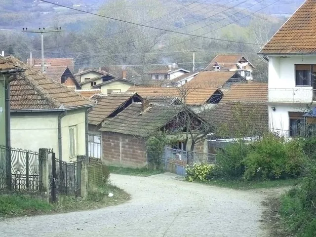 ŠišavaPhoto: Vl at sr.wikipedia, Public domain, source
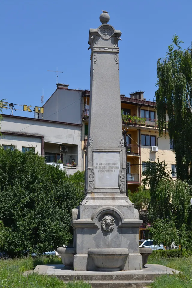 The “at the four lions” memorial fountain in the centre of VlasotincePhoto: Omladinskiklubanciki, CC BY-SA 4.0, source
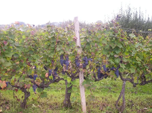 Grapes in the Vlasotince wine regionPhoto: User:Vl, CC BY-SA 3.0, source
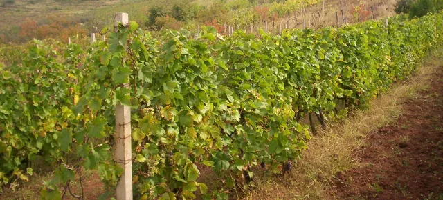 The Vlasotince wine regionPhoto: User:Vl, CC BY-SA 3.0, source
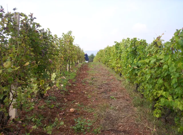 Rows of vinesPhoto: User:Vl, CC BY-SA 3.0, source
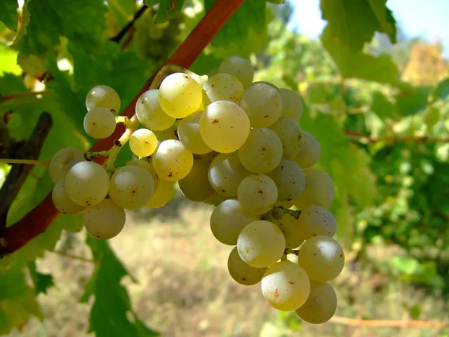 Sauvignon Blanc in the Vlasotince wine regionPhoto: User:Vl, CC BY-SA 3.0, source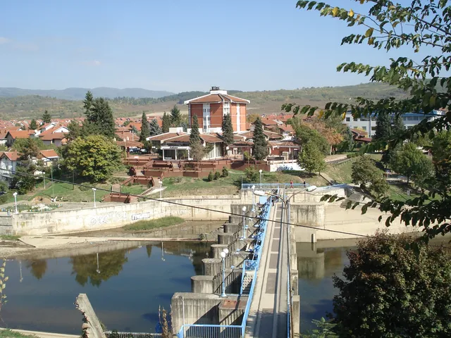
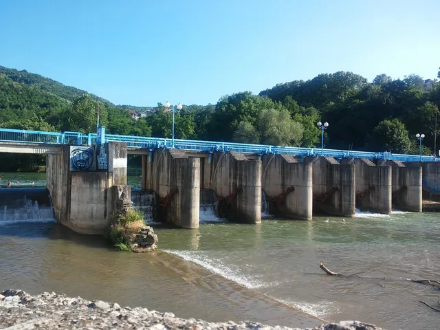 The dam on the VlasinaPhoto: Sandra.Stamenkovic91, CC BY-SA 4.0, source
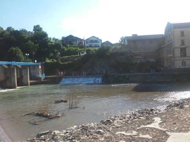 The dam on the VlasinaPhoto: Sandra.Stamenkovic91, CC BY-SA 4.0, source
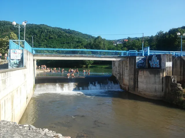 The dam and bridge on the VlasinaPhoto: Sandra.Stamenkovic91, CC BY-SA 4.0, source
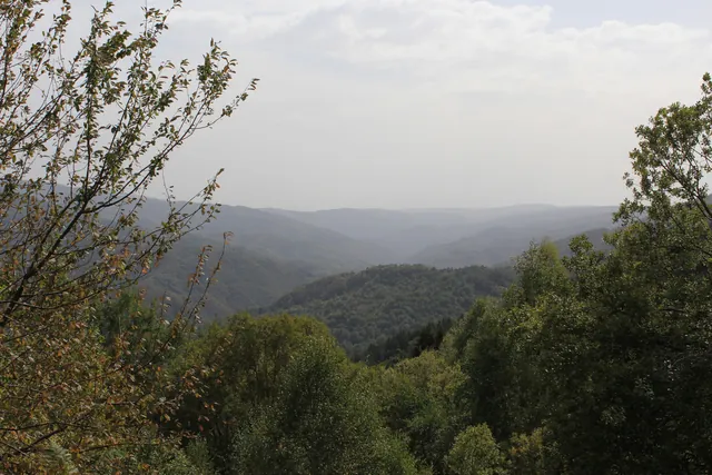 The Vlasina valleyPhoto: Geograf208, CC BY-SA 4.0, source
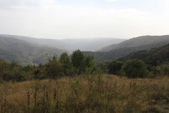 The Vlasina valleyPhoto: Geograf208, CC BY-SA 4.0, source
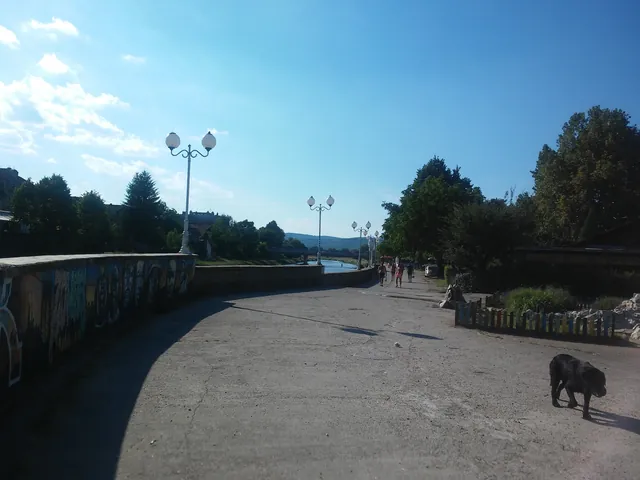 The promenade along the VlasinaPhoto: Sandra.Stamenkovic91, CC BY-SA 4.0, source
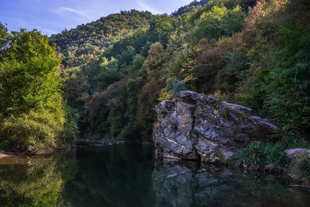 The bed of the Vlasina in early autumnPhoto: Marko.vl, CC BY-SA 4.0, source
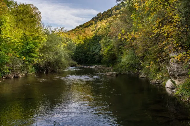 The Vlasina in autumnPhoto: Marko.vl, CC BY-SA 4.0, source
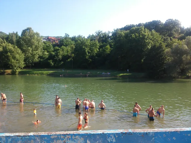 Bathing area on the VlasinaPhoto: Sandra.Stamenkovic91, CC BY-SA 4.0, source
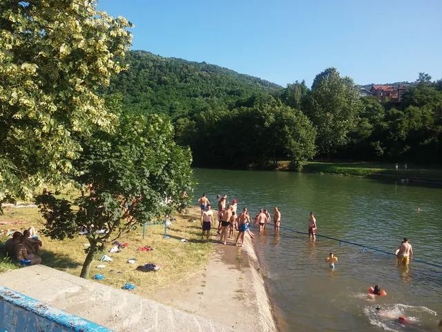 Bathing area on the Vlasina, summerPhoto: Sandra.Stamenkovic91, CC BY-SA 4.0, source
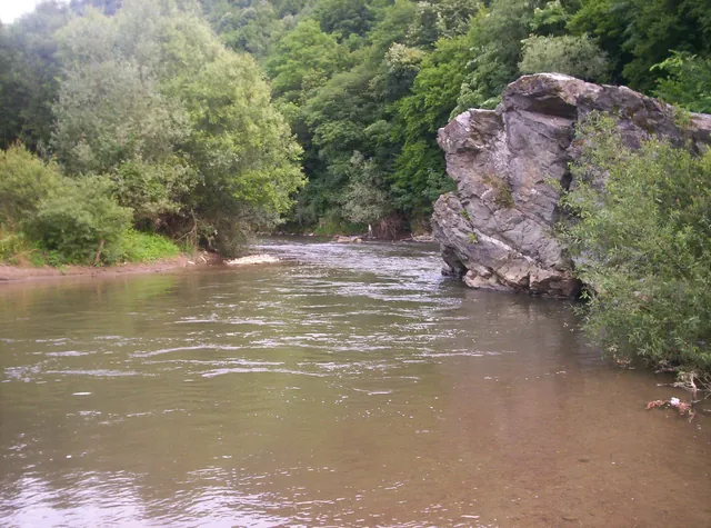 The Vlasina at Pukli kamenPhoto: User:Vl, CC BY-SA 3.0, source
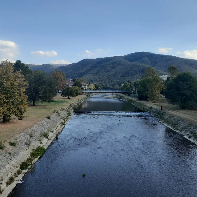 The Vlasina through VlasotincePhoto: ГП, CC BY-SA 4.0, source
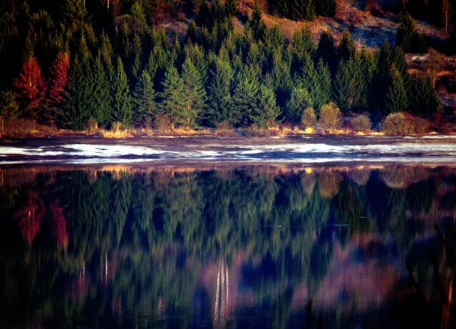 Dawn on Lake Vlasina, Surdulica MunicipalityPhoto: Topi027, CC BY-SA 4.0, source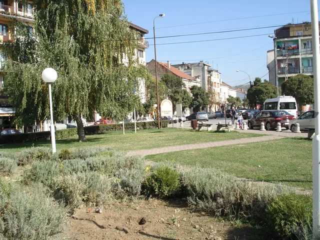
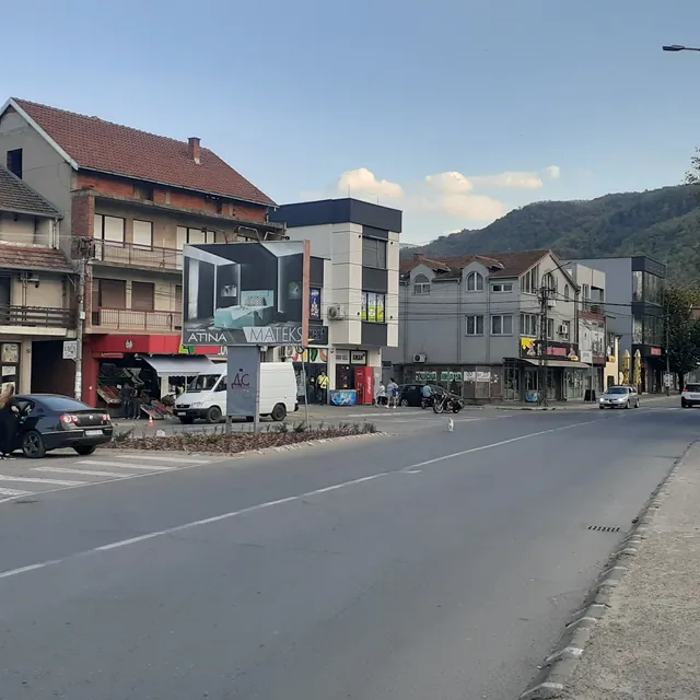 A street in VlasotincePhoto: ГП, CC BY-SA 4.0, source
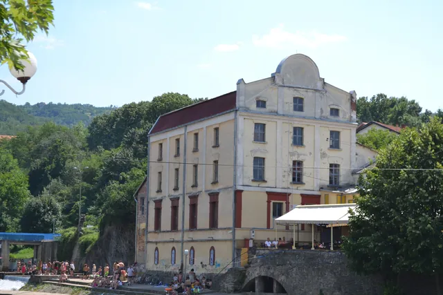 Popović Mill on the VlasinaPhoto: Omladinskiklubanciki, CC BY-SA 4.0, source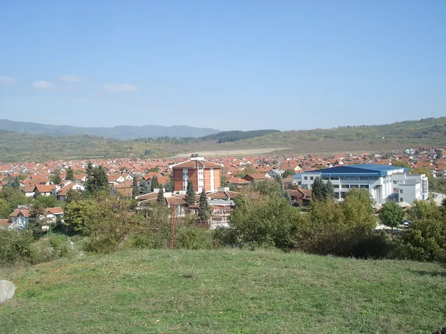
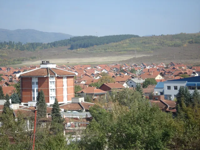
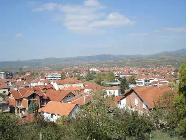
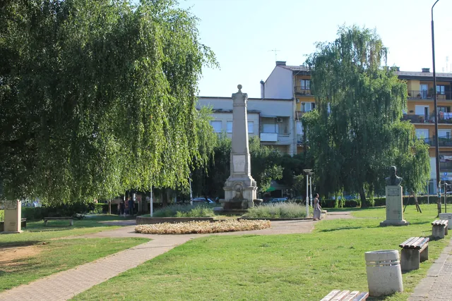 Park in the centre of VlasotincePhoto: Ванилица, CC BY-SA 4.0, source
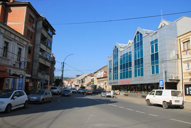 A street in the centre of VlasotincePhoto: Ванилица, CC BY-SA 4.0, source
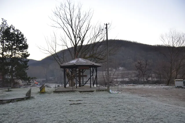 Zapis tree in Boljare, frostPhoto: Zblagojevic, CC BY-SA 4.0, source
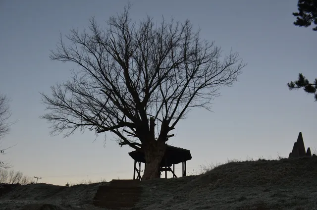 Zapis tree in Boljare at daybreakPhoto: Zblagojevic, CC BY-SA 4.0, source
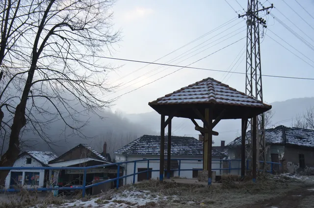 Zapis tree in Svođe in winterPhoto: Zblagojevic, CC BY-SA 4.0, source
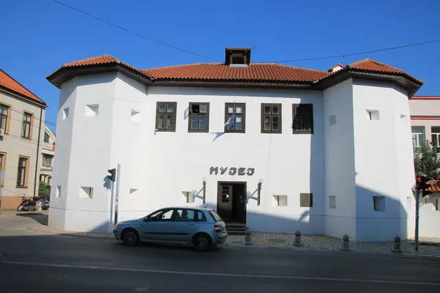 Local History Museum “Turska kula” (Turkish Tower)Photo: Ванилица, CC BY-SA 4.0, source
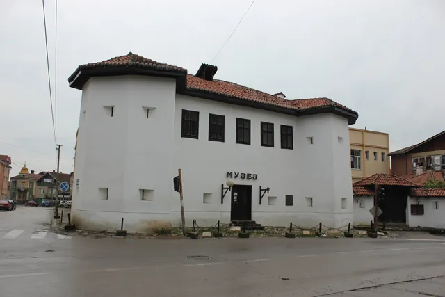 Local History MuseumPhoto: Чигот, CC BY-SA 4.0, source
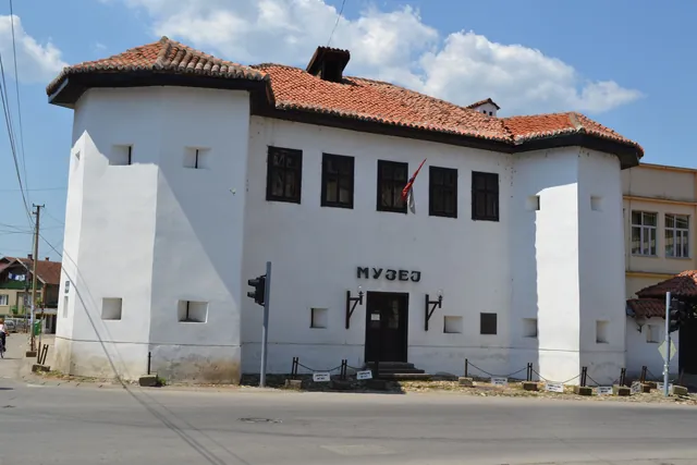 Local History Museum “Turska kula” (Turkish Tower)Photo: Omladinskiklubanciki, CC BY-SA 4.0, source
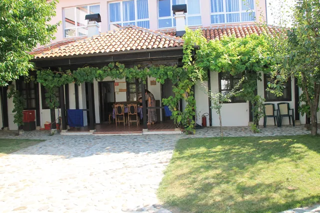 Courtyard of the Local History MuseumPhoto: Ванилица, CC BY-SA 4.0, source
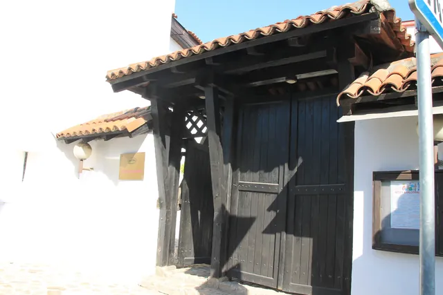 Gate of the Local History MuseumPhoto: Ванилица, CC BY-SA 4.0, source
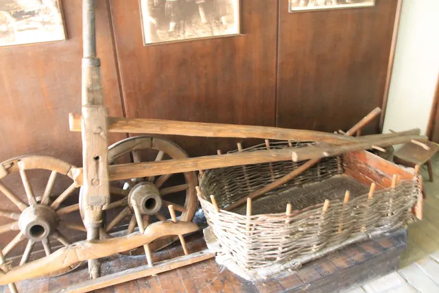 From the Local History Museum’s exhibitionPhoto: Ванилица, CC BY-SA 4.0, source
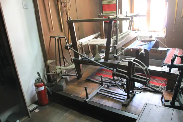 Loom in the Local History MuseumPhoto: Ванилица, CC BY-SA 4.0, source


,_Vlasotince.jpg)
_1049_11.jpg)
_1067_17.jpg)


.JPG)
_1017_18.jpg)
_1004.jpg)
_997.jpg)
_979.jpg)
_976.jpg)
_977.jpg)


