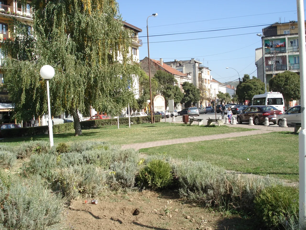
Getting here
Vlasotince is 17 kilometres east of Leskovac, on the M9 main road Leskovac-Vlasotince-Babušnica-Pirot.
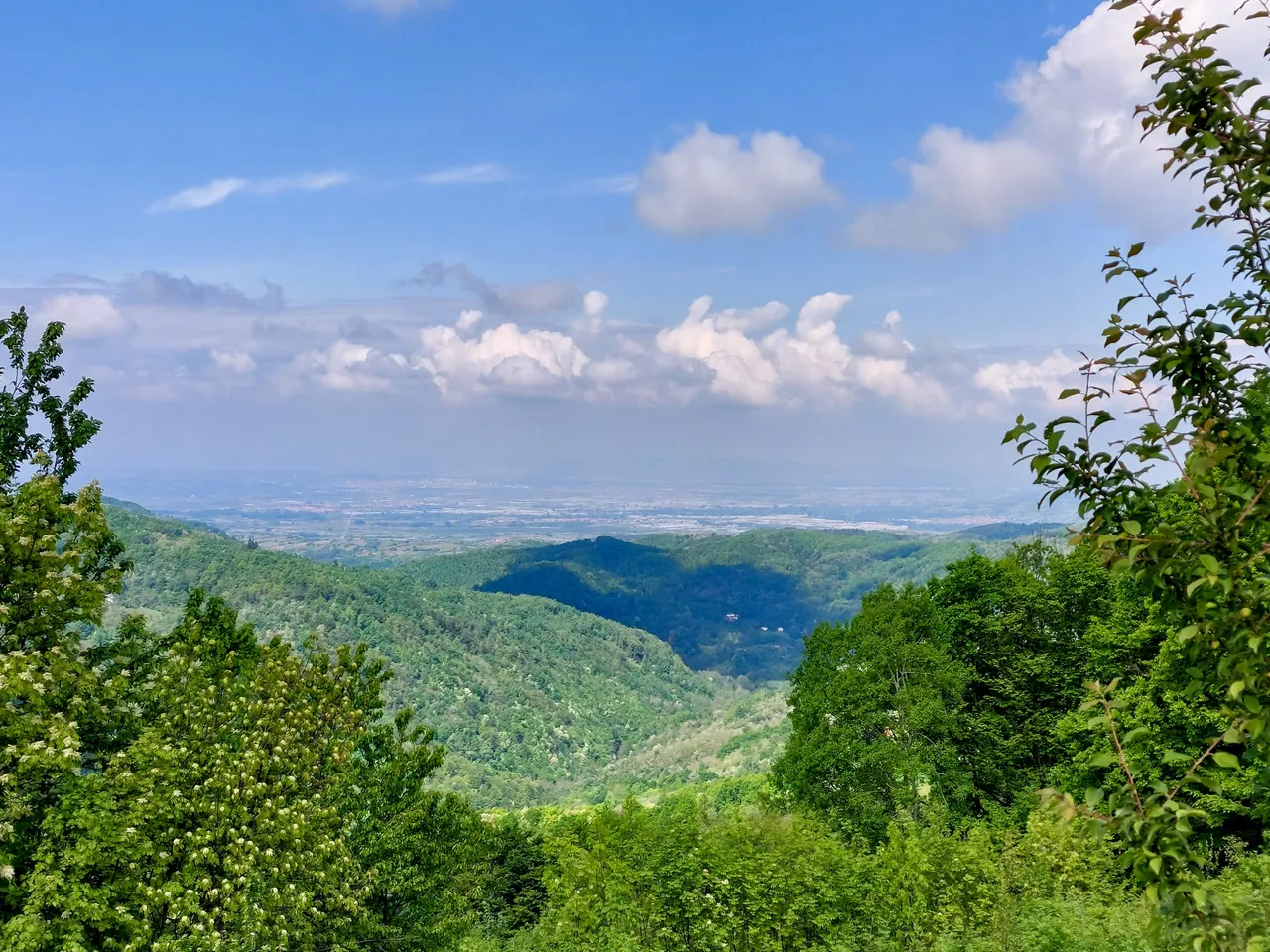
Where Vlasotince is
In south-eastern Serbia, where the Vlasina river leaves the slopes of Čemernik and enters the fertile Leskovac plain. The municipality belongs to the Jablanica District, whose seat is in Leskovac.
The town is at 234 metres above sea level. The municipality lies at 42° 57′ 48″ north latitude and 22° 7′ 43″ east longitude.
Roads
- Leskovac
- Vlasotince is 17 kilometres east of Leskovac and lies on the M9 main road.
- Towards Pirot
- A road along the Vlasina valley links Vlasotince with Pirot; the M9 runs via Babušnica.
- Other routes
- From the lower Vlasina basin there are also the roads Vlasotince-Grdelica and Vlasotince-Komarica-Ravna Dubrava.
- Lake Vlasina
- 56 kilometres. The shortest route to the lake from the direction of Belgrade runs through Vlasotince. The lake is in the Municipality of Surdulica.
- Railway
- The Leskovac-Vranje railway of 1886 bypassed Vlasotince. No source says which railway station is the nearest.
- Bus
- We have not found an official bus timetable for Vlasotince online; we do not copy one from aggregators.
Neighbours
The Municipality of Vlasotince borders the municipality of Leskovac to the west, Crna Trava to the south, Babušnica to the east and Gadžin Han to the north.
The municipality covers 307.93 km², with 48 settlements. The largest village is Stajkovce, with 1,463 inhabitants according to the 2022 census, the only village with more than a thousand inhabitants.
